|
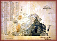 Corporations
and private citizens create maps to claim property, Corporations
and private citizens create maps to claim property,
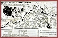 assert legal rights, seek justice, and further their individual
economic interests. In so doing, they record the values and
concerns of their culture and society. Virginians have produced
a wide variety of maps documenting everything from land disputes
to the location of burial grounds. Maps of cities range from
simple plats of lots to complicated documents displaying
population densities, personal economic status,
 and crime rates. Land development companies printed inexpensive
maps to advertise their lots for sale. Maps reflected the
growing tourist trade beginning in the mid-1800s, and today's
official state map distributed annually by the Virginia
Department of Transportation highlights the many tourist
destinations in the state.
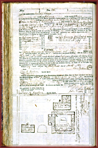 Maps
of cities and towns also include maps used by fire insurance
companies that detail the changes in building materials and the
development of public services. Policies of the Mutual
Assurance Society of Virginia, Maps
of cities and towns also include maps used by fire insurance
companies that detail the changes in building materials and the
development of public services. Policies of the Mutual
Assurance Society of Virginia,
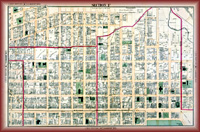 founded in 1794, include plans of the insured buildings,
information about their size, composition, and locations. After
the Civil War standardized insurance maps, such as those created
by the Sanborn Company, used color to indicate building
materials, building types, and roof types as well as water mains
and the location of fire hydrants. Insurance maps enabled owners
and city leaders to assess the fire potential for any block in
the city.
When laying out towns and cities, surveyors imposed a grid
pattern that often ignored the natural contours and features of
the landscape. In the 1737 plan by William Mayo and James Wood,
Richmond appeared flat despite the reality of hilly terrain and
creeks running
 through
the town to the James River. Town planning using grids
facilitated sale of standard lots. From the 1930s city
governments have used maps to understand their cities and to
plan urban development, including transportation arteries,
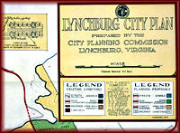
parks, schools, and shopping centers. City plans, such as the
1934 plan of Lynchburg, merged base maps with statistical data
that planners used to predict growth, manage transportation, and
develop commercial centers. through
the town to the James River. Town planning using grids
facilitated sale of standard lots. From the 1930s city
governments have used maps to understand their cities and to
plan urban development, including transportation arteries,
parks, schools, and shopping centers. City plans, such as the
1934 plan of Lynchburg, merged base maps with statistical data
that planners used to predict growth, manage transportation, and
develop commercial centers. |
|
Mapping Virginia

Surveyors and Mapmakers
Mapping Technology
Vision of Empire
Building the
Commonwealth
The Geography of
Culture
Educators' Lesson Plans
 |